UpToWhere
What can you see from Park Point (Mesa Verde)?
The park's highest point isn't the cliff dwellings, it's a fire lookout above them.
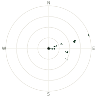
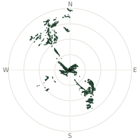
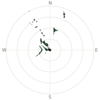
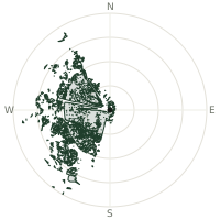
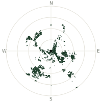
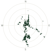
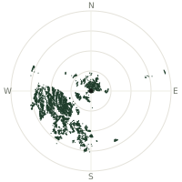
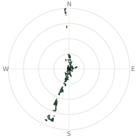
From Park Point (Mesa Verde), the terrain-limited line of sight reaches up to 151 km. The single farthest piece of visible terrain lies 151 km to the north-northwest (bearing 337°), at 3,704 m elevation. These results account for Earth's curvature and standard atmospheric refraction, computed from 30-meter resolution Copernicus GLO-30 elevation data across 2,271,439 terrain samples.
Open the interactive visibility map →Visibility by direction
The horizon is most open toward the west-northwest, where sightlines run 124 km on average; terrain closes the view down fastest to the south-southeast, at 0.1 km.
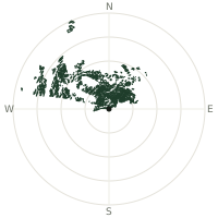
| N | 56.1 km | |
| NNE | 67.7 km | |
| NE | 64.5 km | |
| ENE | 45.1 km | |
| E | 2.0 km | |
| ESE | 1.0 km | |
| SE | 0.7 km | |
| SSE | 0.1 km | |
| S | 0.2 km | |
| SSW | 0.4 km | |
| SW | 1.0 km | |
| WSW | 2.2 km | |
| W | 24.2 km | |
| WNW | 124 km | |
| NW | 100 km | |
| NNW | 91.7 km |
Farthest named landmarks in view
86 named peaks, hills and headlands stand inside this viewshed. These are the farthest ones you could pick out on a clear day:
| Landmark | Visible distance | Direction | Elevation |
|---|---|---|---|
| Manns Peak | 150 km | NNW · 337° | 3,729 m |
| Haystack Mountain | 150 km | NNW · 336° | 3,546 m |
| Mount Tomasaki | 149 km | NNW · 337° | 3,711 m |
| Mount Mellenthin | 146 km | NNW · 336° | 3,852 m |
| Mount Tukuhnikivatz | 144 km | NNW · 334° | 3,810 m |
| Mount Peale | 143 km | NNW · 335° | 3,877 m |
About Park Point (Mesa Verde)
Mesa Verde National Park is famous worldwide for the Ancestral Puebloan cliff dwellings built into its canyon walls between roughly 600 and 1300 CE, but its actual high point is Park Point, a windswept overlook crowned by a working fire lookout tower staffed every summer since 1939. Established in 1906, Mesa Verde was the first US national park created specifically to protect the works of past human civilization rather than a natural landscape. From up here, rather than looking down at the dwellings, you look out across four states.
Did you know?
- Park Point sits at roughly 2,600 metres, the highest ground anywhere in Mesa Verde National Park.
- Its octagonal fire lookout has been staffed every fire season since 1939 and remains on the National Historic Lookout Register.
- Mesa Verde became a national park in 1906, the same year Devils Tower became the country's first national monument.
- On clear days the lookout's view reaches into four states at once: Colorado, Utah, New Mexico, and Arizona.
- The snow-capped peaks of the San Juan Mountains, some topping 4,000 metres, are visible to the north from the lookout.
Frequently asked questions
How far can you see from Park Point (Mesa Verde)?
On a clear day the terrain allows a line of sight of up to 151 km from Park Point (Mesa Verde). The average visible distance across all 360 directions is 36.2 km. Atmospheric conditions (haze, humidity) usually reduce practical visibility below the terrain-limited maximum.
What is the farthest point visible from Park Point (Mesa Verde)?
The farthest terrain visible from Park Point (Mesa Verde) lies 151 km to the north-northwest, at an elevation of 3,704 m. Earth's curvature and atmospheric refraction are accounted for in this calculation.
How high is Park Point (Mesa Verde)?
The observation point at Park Point (Mesa Verde) sits at 2,424 m above sea level (Copernicus GLO-30 elevation model).
How is this visibility map calculated?
UpToWhere traces lines of sight in 360 directions from the observer using 30 m-resolution Copernicus terrain data, correcting for Earth curvature and standard atmospheric refraction. You can run the same analysis for any point on Earth with the free calculator.
Run your own analysis
Want to know what you can see from your house, a summit you're planning to climb, or a plot of land? UpToWhere computes the same 360° viewshed for any point on Earth in seconds — free.
Try the viewshed calculator