 UpToWhere
Multi-site terrain analysis.
Visibility analysis for a site portfolio: cumulative viewsheds, link matrices and point-to-point studies, with the calculation method attached to every map, table and report.
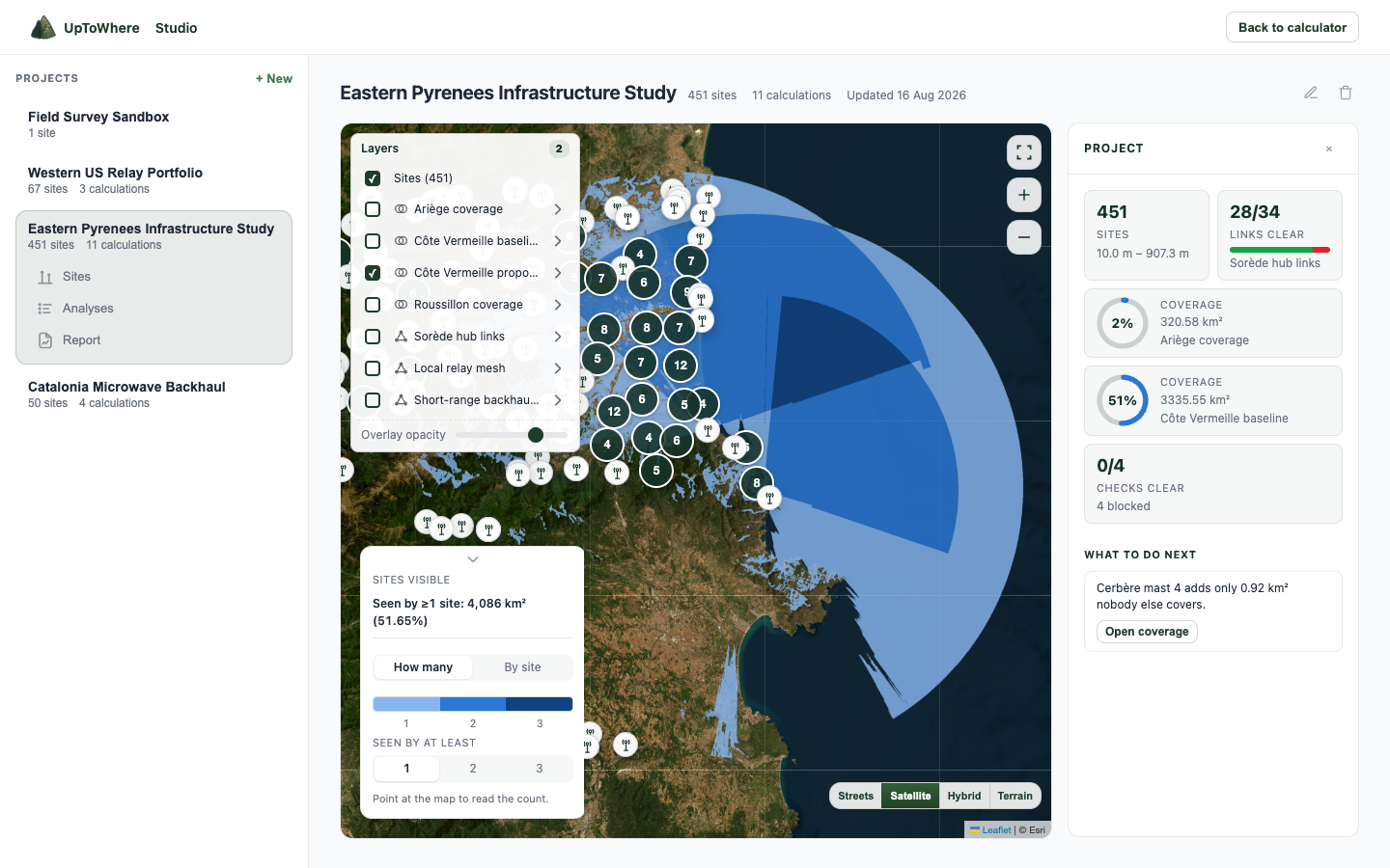
Qualify a path before field work
Keep the map, terrain profile and line-of-sight verdict together for every proposed link.
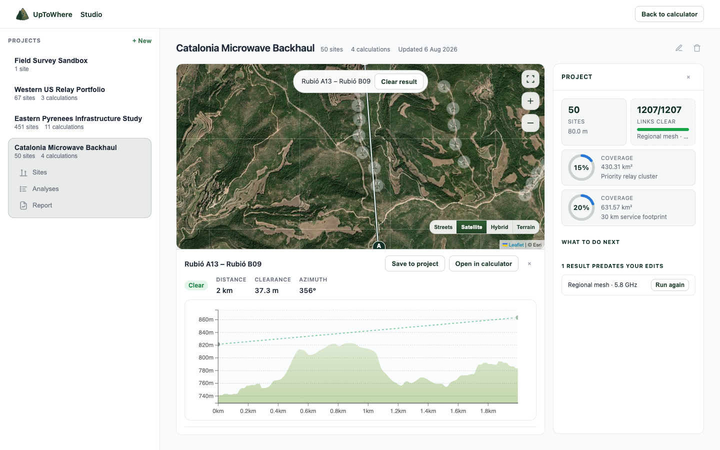
A clear 2 km serviceability result
Rubió A13 to Rubió B09 clears the terrain with 37.3 m worst clearance. Distance, bearing, map and terrain profile remain attached to the result.
Review a hub network worst first
See every remote against the master, isolate blocked paths and open the corrective action directly from the project.
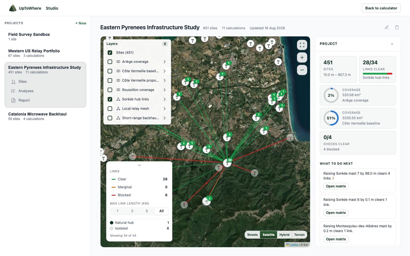
28 of 34 hub links clear
Six blocked paths stand out on the map. Studio ranks practical height changes for the remotes that can be cleared.
Applications
The same terrain engine supports fixed wireless, ZTV, drone operations and telemetry planning.
Fixed wireless
Qualify customers against towers, solve blocked mast heights and find relay ground.
Open workflow →
Wind & solar ZTV
Cumulative visibility, consented-versus-proposed difference maps and print-ready sheets.
Open workflow →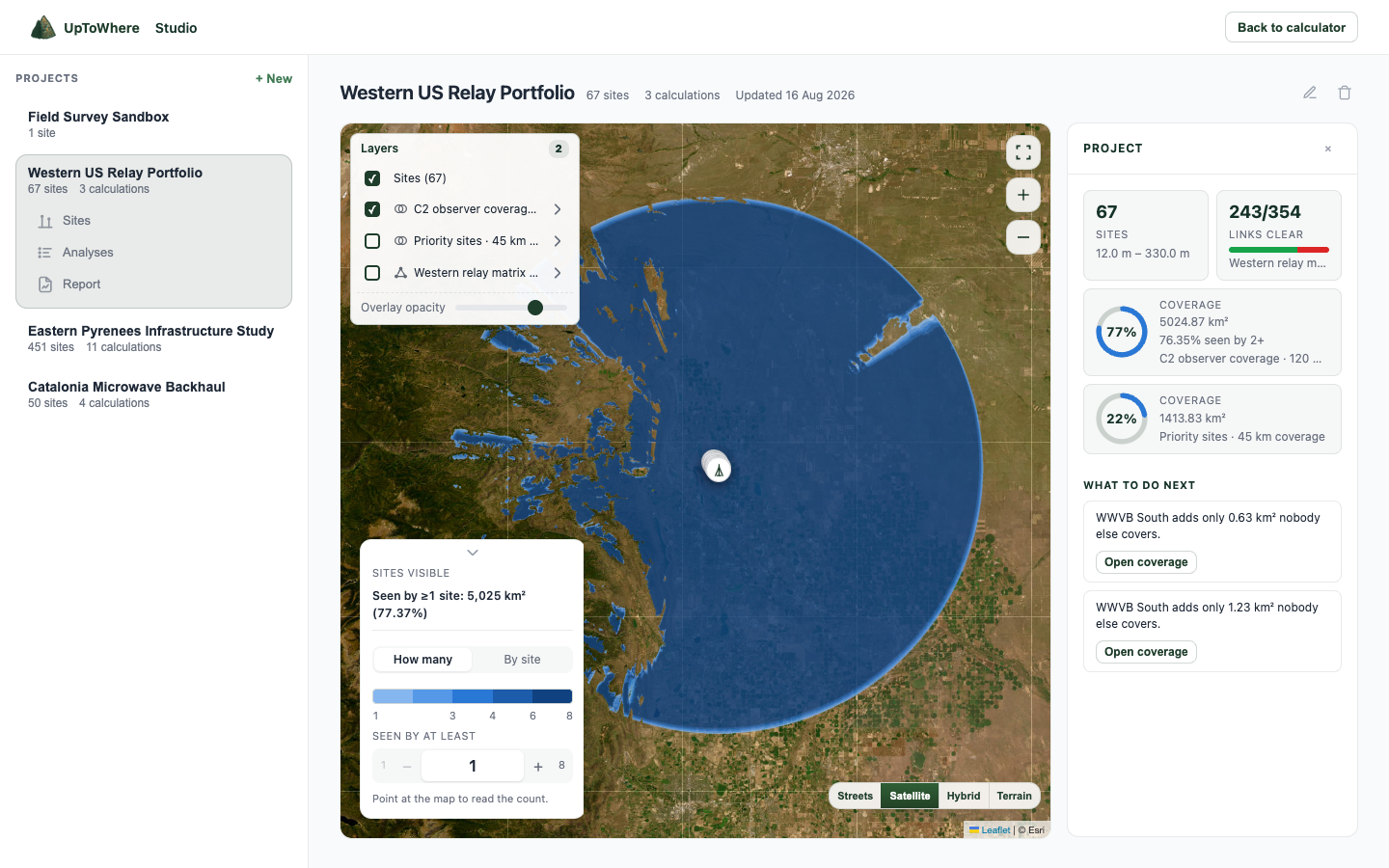
Drone BVLOS
Observer and dock placement, terrain shadow and C2 Fresnel screening at aircraft height.
Open workflow →
SCADA & telemetry
Run every remote against the master and return solved heights for the blocked hops.
Open workflow →Security & CCTV
Aim a camera on real terrain, cut the field of view to the lens and read detection range against DORI.
Open workflow →Export formats
Maps, rasters, tables and reports retain the inputs, terrain source and calculation parameters.
Open in Earth
Sites, links and visibility geometry in a file a client can inspect.
Continue in GIS
Georeferenced visibility and count rasters for the rest of the study.
Work in vectors
Coverage polygons with the seen-by count per area, plus GeoJSON for sites, links and viewsheds.
Audit the rows
Inputs, verdicts, distances, bearings, clearances and provenance.
File the result
Report pages under your own name and logo, with maps, profiles, key figures and methodology.
Studio is 49€/month or 490€/year.
No credits, quotas or per-export fees. What you produce is yours to hand on, and yours to check. Studio opens inside the same UpToWhere account.