 UpToWhere
Can you see Key West, Florida from Havana (El Morro lighthouse)?
165 km line of sight toward the north-northeast (bearing 20°), computed on 30 m Copernicus terrain with Earth curvature and standard atmospheric refraction.
No. Key West, Florida is 165 km from Havana and sits about 1,284 m below the horizon at standard refraction: Earth's curvature hides it.
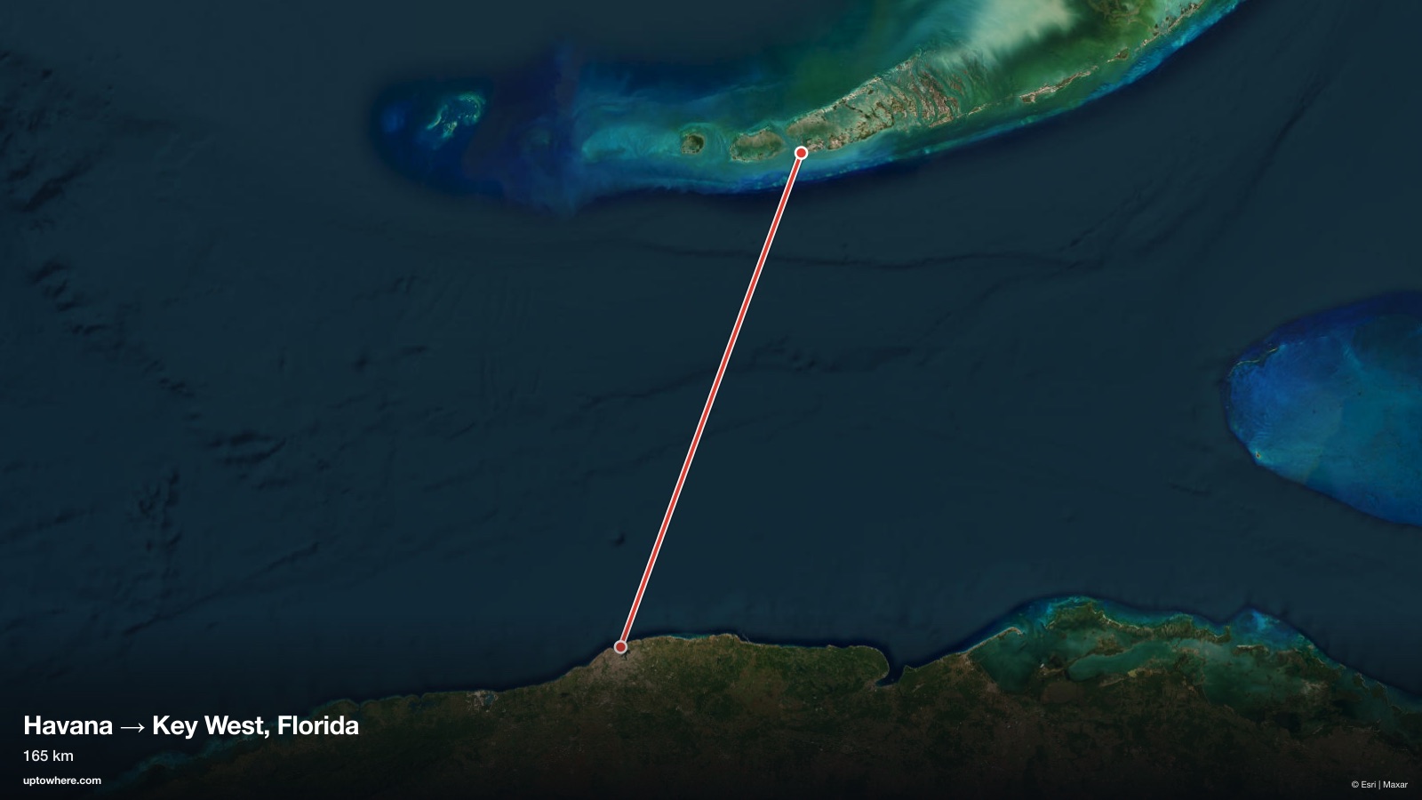
No terrain trickery needed here: the planet itself is the obstacle. Over 165 km, Earth's curvature drops Key West, Florida a full 1,859 m below a flat sightline, leaving its summit about 1,284 m under the grazing line from Havana (El Morro lighthouse). No viewpoint at this location, however clear the day, can see over that.
The reverse question, Cuba seen from Key West, gets the same answer for the same reason. Neither side is high enough for 165 kilometres of open water, and no lighthouse or hotel changes that. What crosses reliably is radio, which is why both shores have heard each other for a century.
The terrain profile
Frequently asked questions
Can you see Key West, Florida from Havana (El Morro lighthouse)?
No, not under standard atmospheric conditions. Across 165 km, the view is cut off before reaching the target (see the terrain profile above for exactly where).
How far is Key West, Florida from Havana (El Morro lighthouse) in a straight line?
165 km great-circle distance, on a bearing of 20° (north-northeast).
What exactly blocks the view?
Earth's curvature. Over this distance the target drops about 1,859 m below a flat sightline and ends up roughly 1,284 m below the horizon. Only exceptional atmospheric refraction can (sometimes) lift it into view.
How was this calculated?
UpToWhere walks the full terrain profile between the two points on 30 m-resolution Copernicus GLO-30 elevation data, applying Earth curvature and standard atmospheric refraction (k = 0.13), the same physics surveyors use. You can run the same point-to-point check between any two places on Earth.
More famous sightlines
- NO495 kmCan you see Niagara Falls from New York City (Empire State Building)?
- YES74 kmCan you see Cerro Santa Ana, Venezuela from Jamanota, Aruba?
- YES4.4 kmCan you see the Statue of Liberty from the Brooklyn Bridge walkway?
Wondering about a different pair?
The free calculator shows how far you can see from any point on Earth. Pro adds point-to-point checks: this exact analysis, between any two places you choose.
Open the calculator