 UpToWhere
Can you see Havana (El Morro lighthouse) from Key West (Southernmost Point)?
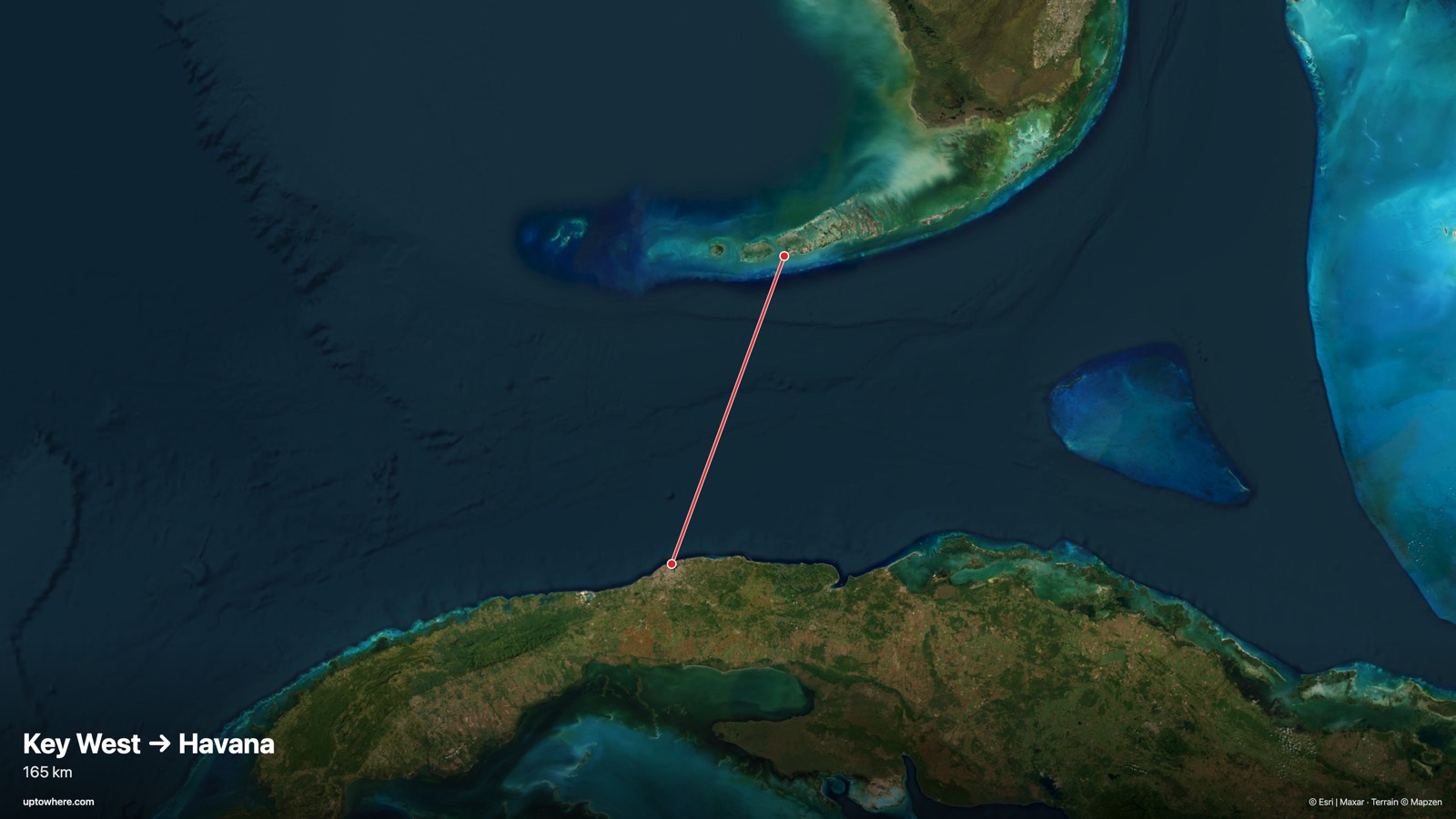
165 km line of sight toward the south-southwest (bearing 200°), computed on 30 m Copernicus terrain with Earth curvature and standard atmospheric refraction.
No. Havana is 165 km from Key West and sits about 1,697 m below the horizon at standard refraction: Earth's curvature hides it.
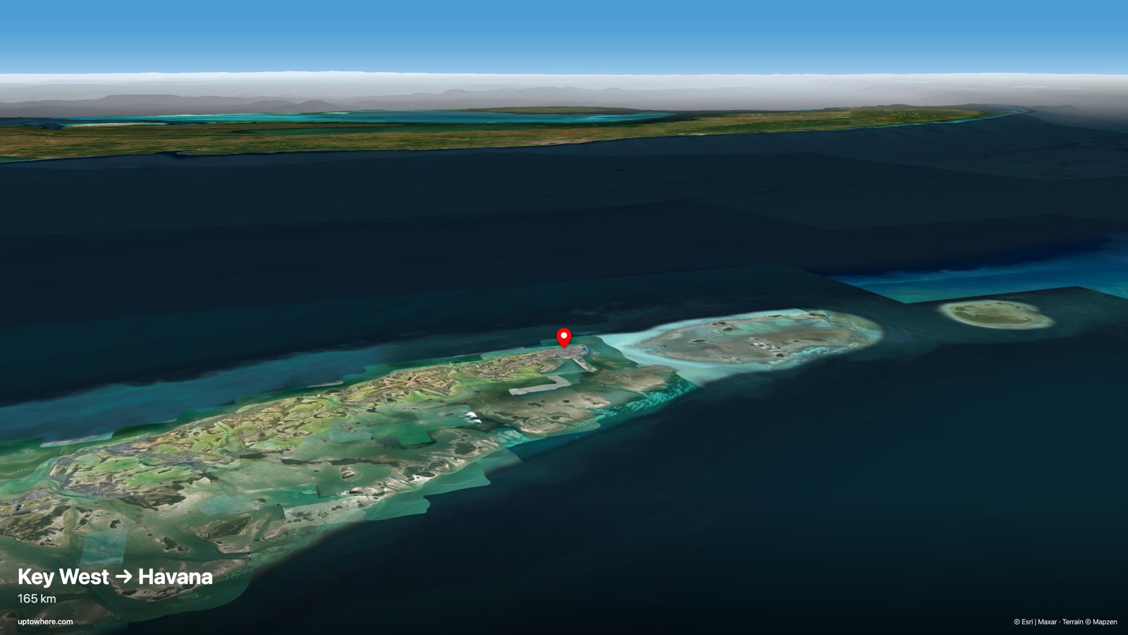
No terrain trickery needed here: the planet itself is the obstacle. Over 165 km, Earth's curvature drops Havana (El Morro lighthouse) a full 1,858 m below a flat sightline, leaving its summit about 1,697 m under the grazing line from Key West (Southernmost Point). No viewpoint at this location, however clear the day, can see over that.
Not even Havana's tallest towers change the verdict: at this distance everything below roughly 1.6 kilometres of height is behind the bulge of the Earth. The glow of the city on the clouds, sometimes reported by Key West pilots and sailors, is real; the city itself is not visible.
The line on the map
The terrain profile
Frequently asked questions
Can you see Havana (El Morro lighthouse) from Key West (Southernmost Point)?
No, not under standard atmospheric conditions. Across 165 km, the view is cut off before reaching the target (see the terrain profile above for exactly where).
How far is Havana (El Morro lighthouse) from Key West (Southernmost Point) in a straight line?
165 km great-circle distance, on a bearing of 200° (south-southwest).
What exactly blocks the view?
Earth's curvature. Over this distance the target drops about 1,858 m below a flat sightline and ends up roughly 1,697 m below the horizon. Only exceptional atmospheric refraction can (sometimes) lift it into view.
How was this calculated?
UpToWhere walks the full terrain profile between the two points on 30 m-resolution Copernicus GLO-30 elevation data, applying Earth curvature and standard atmospheric refraction (k = 0.13), the same physics surveyors use. You can run the same point-to-point check between any two places on Earth.
Can you see Cuba from Florida?
Not from anywhere on the Florida mainland or the Keys. Key West is the closest point of the United States to Cuba at about 165 km, and even from there Havana sits roughly 1,650 m below the horizon. Distance only grows from every other part of Florida.
More famous sightlines
- NO359 kmCan you see Havana, Cuba from Key Biscayne, Miami?
- NO359 kmCan you see Key Biscayne, Miami from Havana (El Morro lighthouse)?
- NO261 kmCan you see Pikes Peak, Colorado from Mount Sunflower, Kansas?
Wondering about a different pair?
The free calculator shows how far you can see from any point on Earth. Pro adds point-to-point checks: this exact analysis, between any two places you choose.
Open the calculator