 UpToWhere
Can you see Aconcagua from Cerro San Cristóbal, Santiago?
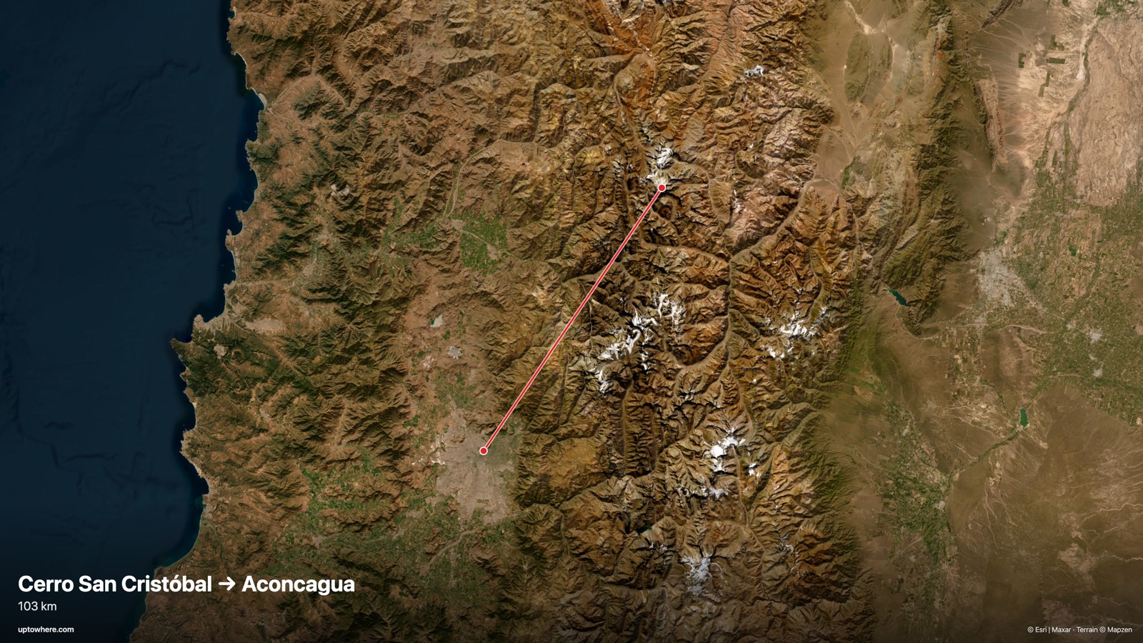
103 km line of sight toward the northeast (bearing 34°), computed on 30 m Copernicus terrain with Earth curvature and standard atmospheric refraction.
No. The sightline from Cerro San Cristóbal, Santiago to Aconcagua is cut 25.9 km along the path by Cerro Las Vizcachas, in the Andean front range rising to 2,855 m, which leaves the target about 2,383 m below the line.
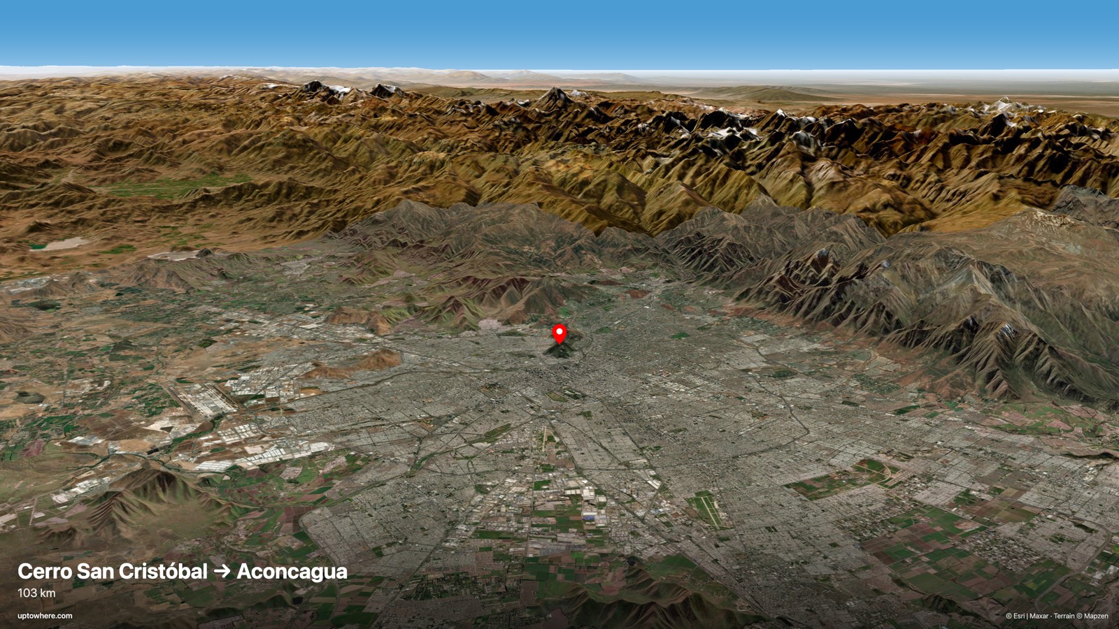
The line of sight from Cerro San Cristóbal, Santiago toward Aconcagua dies 25.9 km along the path, where Cerro Las Vizcachas, in the Andean front range rising to 2,855 m cuts across it. Behind that ridge, the target ends up about 2,383 m below the grazing sightline. To see Aconcagua, you would need a higher observation point, or a different angle entirely.
The huge white summit Santiaguinos actually see behind the front range is usually Cerro El Plomo (5,424 m). Aconcagua itself only appears from vantage points outside the basin: Cerro La Campana, the hills near Tiltil, or the coastal range above Valparaíso.
The line on the map
The terrain profile
Frequently asked questions
Can you see Aconcagua from Cerro San Cristóbal, Santiago?
No, not under standard atmospheric conditions. Across 103 km, the view is cut off before reaching the target (see the terrain profile above for exactly where).
How far is Aconcagua from Cerro San Cristóbal, Santiago in a straight line?
103 km great-circle distance, on a bearing of 34° (northeast).
What exactly blocks the view?
High ground about 25.9 km along the path, rising to 2,855 m, cuts the sightline; the target ends up about 2,383 m below the grazing line.
How was this calculated?
UpToWhere walks the full terrain profile between the two points on 30 m-resolution Copernicus GLO-30 elevation data, applying Earth curvature and standard atmospheric refraction (k = 0.13), the same physics surveyors use. You can run the same point-to-point check between any two places on Earth.
More famous sightlines
- YES535 kmCan you see the Kunlun ridge on the India–China border from Pik Dankova, Tian Shan?
- NO495 kmCan you see Niagara Falls from New York City (Empire State Building)?
- YES443 kmCan you see Pic Gaspard, French Alps from Pic de Finestrelles, Pyrenees?
Wondering about a different pair?
The free calculator shows how far you can see from any point on Earth. Pro adds point-to-point checks: this exact analysis, between any two places you choose.
Open the calculator