 UpToWhere
Can you see the Mull of Kintyre, Scotland from Torr Head, Northern Ireland?
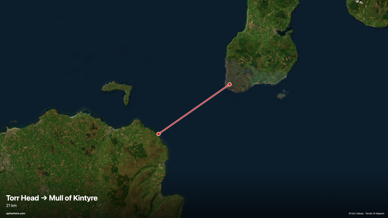
21.6 km line of sight toward the northeast (bearing 55°), computed on 30 m Copernicus terrain with Earth curvature and standard atmospheric refraction.
Yes. The Mull of Kintyre, Scotland is visible from Torr Head, Northern Ireland: a clear 21.6 km line of sight, and after Earth's curvature drops the target 32 m, its top still stands 311 m above eye level.
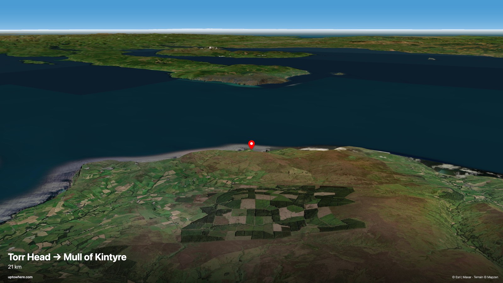
From Torr Head, Northern Ireland, at an eye level of 63 m, the sightline to the Mull of Kintyre, Scotland runs 21.6 km and clears every ridge in between. Over that distance Earth's curvature drops the target 32 m below a flat-earth line, but at 405 m, it still rises above the horizon. The view is geometrically real: whether you actually get it depends on haze, not terrain. The tightest squeeze is mid-path, where the sightline passes just 2 m above the terrain at km 0.
The line on the map
The terrain profile
Frequently asked questions
Can you see the Mull of Kintyre, Scotland from Torr Head, Northern Ireland?
Yes. The terrain-limited line of sight is clear across 21.6 km, accounting for Earth's curvature and standard atmospheric refraction. Atmospheric haze is the only thing that can hide the view.
How far is the Mull of Kintyre, Scotland from Torr Head, Northern Ireland in a straight line?
21.6 km great-circle distance, on a bearing of 55° (northeast).
How much does Earth's curvature hide over 21.6 km?
At the target's distance the curvature drop is about 32 m: anything lower than that (relative to the observer's horizon plane) is hidden behind the bulge of the Earth. The Mull of Kintyre, Scotland is tall enough to rise above it.
How was this calculated?
UpToWhere walks the full terrain profile between the two points on 30 m-resolution Copernicus GLO-30 elevation data, applying Earth curvature and standard atmospheric refraction (k = 0.13), the same physics surveyors use. You can run the same point-to-point check between any two places on Earth.
More famous sightlines
- YES443 kmCan you see Pic Gaspard, French Alps from Pic de Finestrelles, Pyrenees?
- NO340 kmCan you see the Eiffel Tower from London (The Shard viewing gallery)?
- YES268 kmCan you see Jbel Tidighine, Rif Mountains from Mulhacén, Sierra Nevada?
Wondering about a different pair?
The free calculator shows how far you can see from any point on Earth. Pro adds point-to-point checks: this exact analysis, between any two places you choose.
Open the calculator