 UpToWhere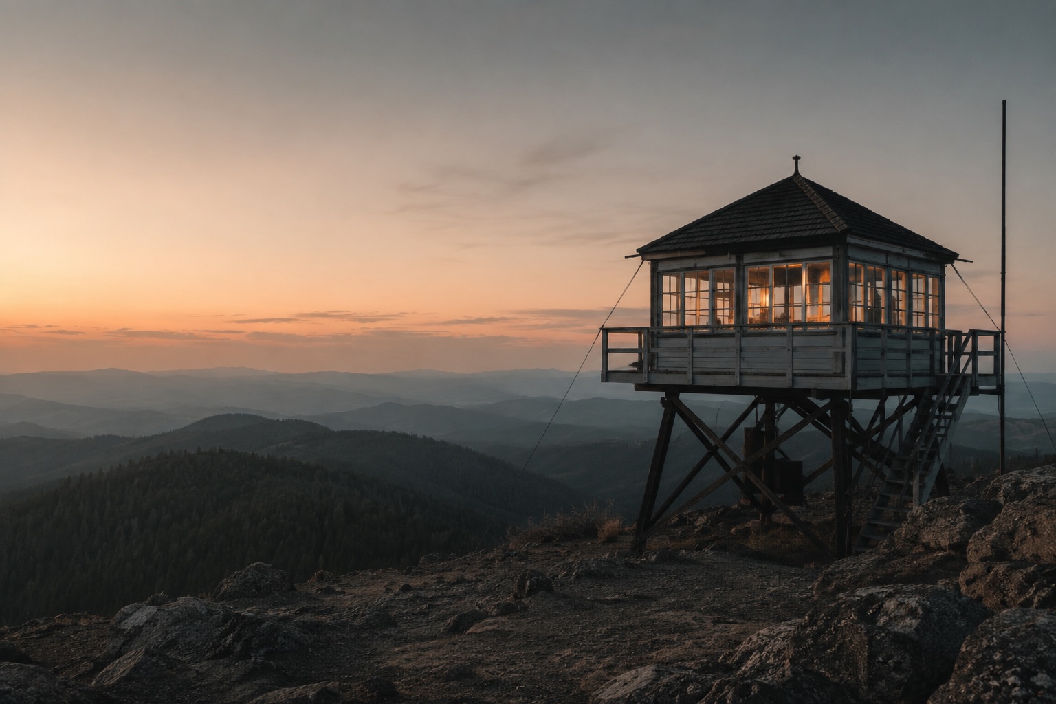
In the summer of 1910, wildfires burned three million acres across Idaho and Montana in two days, killing 87 people. The "Big Burn" changed fire policy permanently, and created one of the more remarkable mapping problems of the 20th century: from which points can you watch an entire forest?
The answer became the fire lookout network. Over the following decades the United States built more than 8,000 lookout towers; Canada, Australia and southern Europe built thousands more. And every single one of them posed the same question you can now answer in seconds: what exactly can be seen from here?
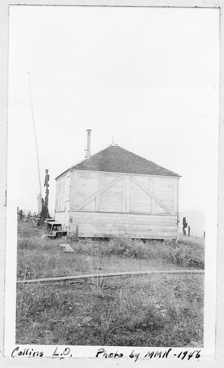
Photo: U.S. Forest Service, public domain (source).
Viewshed analysis, with a pencil
Lookout planners had no elevation rasters and no processors, so they computed visibility the hard way. Surveyors climbed candidate summits and produced "seen-area maps": hand-drawn charts of every valley, ridge face and drainage visible from the point, sketched with the help of panoramic photographs and profile boards. Overlaying the seen-area maps of several candidate peaks showed which combination watched the most timber with the fewest towers: coverage optimization, decades before anyone called it that.
The blind spots mattered as much as the coverage: a valley invisible from every tower was a valley where a fire could grow unreported. Networks were deliberately designed with overlapping viewsheds, so most terrain was seen from at least two towers.
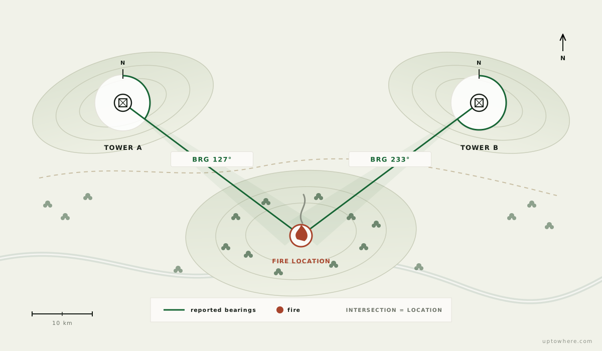
Two towers seeing the same smoke was also the ranging method. Each lookout carried an Osborne Firefinder, a rotating alidade over a circular map table, invented in 1911 and so well matched to the job that lookouts still use it today. One tower reports a bearing to the smoke, a second tower reports its own bearing, and the fire sits where the two lines cross. The whole system is applied intervisibility: bearings, sightlines and triangulation over terrain.
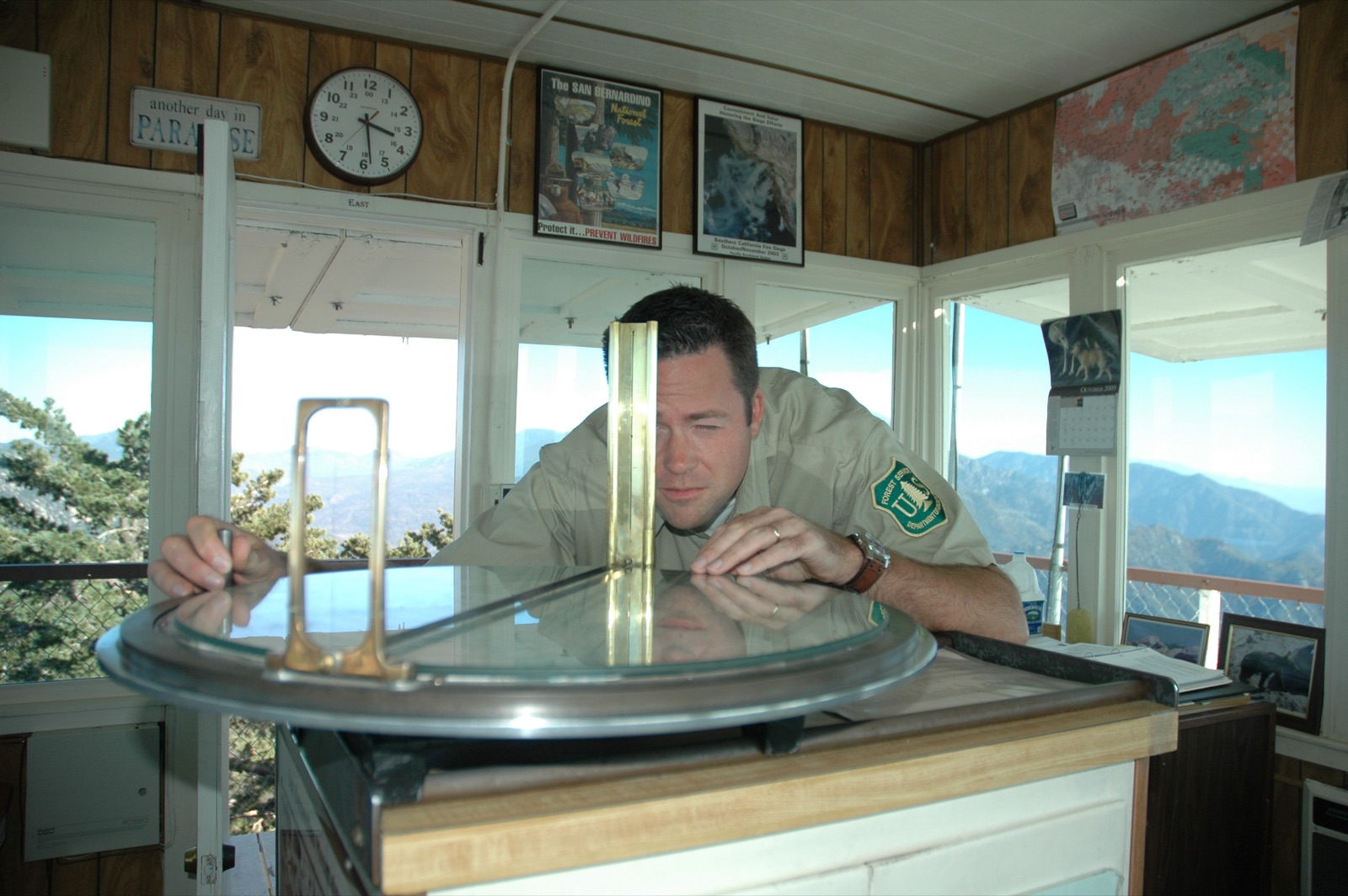
Photo: U.S. Forest Service, public domain (source).
What a lookout actually sees
A well-sited tower watches an astonishing amount of country. Depending on the terrain, effective smoke-spotting ranges run 30 to 80 km (19 to 50 mi): the limit set not by eyesight but by the same physics as any sightline: Earth's curvature, haze, and above all terrain shadows, the areas hidden behind ridges where smoke stays invisible until it towers over the skyline.
Some of the best examples stand on points you can visit:
- Mount Washburn in Yellowstone still operates as a staffed fire lookout. Its analysis shows why: enormous open sightlines across the park's plateaus.
- Black Elk Peak in South Dakota carries a stone lookout tower from 1938, built by the Civilian Conservation Corps on the highest point for hundreds of kilometres in any direction.
Satellites, aircraft and AI camera networks now share the work, but hundreds of towers remain staffed across North America and Australia every fire season: a human with an Osborne Firefinder is still a remarkably reliable smoke detector, and many decommissioned cabins have found a second life as the most scenic rental accommodation on Earth.
Run a lookout siting in 30 seconds
The seen-area map that took a survey crew days is now a single request over 30 m elevation data:
- Open the visibility calculator, place the observer on any summit, or any candidate point.
- The 360° analysis returns the full viewshed: every visible slope, every terrain shadow, the maximum sightline in each direction.
- Compare a few candidate points and you've reproduced the 1930s siting workflow (overlap, blind spots and all) before lunch.
It works just as well for the modern cousins of the problem: siting webcams, radio repeaters, drone observation posts or simply finding the best watchpoint hill in your region.
Compute a summit's full viewshed, free
Frequently asked questions
How were fire lookout locations chosen before computers?
Survey crews climbed candidate peaks and drew seen-area maps: hand sketches of all terrain visible from each point, aided by panoramic photographs. Planners overlaid these manual viewsheds to choose tower sets that maximized watched terrain and minimized shared blind spots.
What is an Osborne Firefinder?
A rotating sighting instrument (alidade) mounted over a circular topographic map table, invented by William Osborne in 1911. A lookout aims it at a smoke column to read a precise bearing; bearings from two towers locate the fire by triangulation. It remains in service in many towers today.
How far can a fire lookout see?
Effective smoke-detection ranges typically run 30–80 km (19–50 mi) depending on terrain and air clarity. The hard limits are Earth's curvature and terrain shadows (valleys hidden behind ridges), which is exactly what a viewshed analysis maps.
Are fire lookout towers still used?
Yes. While satellites and camera networks handle a growing share, hundreds of towers are still staffed each season across the US, Canada and Australia, valued for reliability and human judgment. Many retired towers are now rentable overnight cabins.